
Baldwin County ZIP Code Directory Areas
Baldwin County is served by a wide set of postal communities, from Bay Minette in the north-central county to Orange Beach on the coast. The postal checklist below is drawn from the county research. It is not a legal boundary map. USPS delivery areas can cross city lines, and one postal name may describe addresses inside and outside an incorporated place. The post office column therefore gives the principal postal community, not a claim of municipal jurisdiction.
| ZIP | Baldwin area served | Postal community | Local search note |
|---|---|---|---|
| 36507 | North-central county | Bay Minette | County-seat name does not prove city limits |
| 36511 | South-central waterfront and rural area | Bon Secour | Verify each address |
| 36526 | Eastern Shore | Daphne | Extends beyond the incorporated core |
| 36527 | Eastern Shore growth corridor | Spanish Fort or Daphne area | Confirm preferred city by address |
| 36530 | Southeastern interior | Elberta | Rural and town addresses |
| 36532 | Eastern Shore | Fairhope | Postal area exceeds city limits |
| 36535 | Central-south county | Foley | Large postal and service area |
| 36536 | Magnolia River area | Magnolia Springs | Verify local delivery |
| 36542 | Coast and Fort Morgan Road area | Gulf Shores | City and unincorporated areas split |
| 36547 | Limited or institutional use reported | Gulf Shores | USPS confirmation is essential |
| 36549 | Perdido Bay and eastern county | Lillian | Verify the situs in GIS |
| 36550 | Far north county | Little River | Rural addressing |
| 36551 | Central county and interstate corridor | Loxley | Growth-area jurisdiction checks matter |
| 36555 | Alternate local delivery area | Magnolia Springs | Check the exact address |
| 36559 | Historic Eastern Shore community | Montrose | Postal and civic identity may differ |
| 36561 | Coastal city and nearby delivery area | Orange Beach | Parcel records distinguish sites |
| 36562 | Northeastern and eastern rural county | Perdido | Use parcel and road data |
| 36564 | Eastern Shore waterfront | Point Clear | Postal community, not a city boundary |
| 36567 | Central county | Robertsdale | Town and nearby rural routes |
| 36574 | Eastern county near Florida | Seminole | Verify state and county situs |
| 36576 | Central county | Silverhill | Check municipal status |
| 36577 | Eastern Shore and I-10 area | Spanish Fort | Fast-changing growth corridor |
| 36578 | North-central rural area | Stapleton | Road and parcel keys help |
| 36579 | North Baldwin | Stockton | Rural legal descriptions are useful |
| 36580 | Central-south county | Summerdale | Verify current delivery address |
| 36590 | Possible boundary or service anomaly | Theodore | Do not assume a Baldwin situs |
No authoritative downloadable Baldwin-only USPS boundary file, realignment history, or confirmed list of PO-box-only codes was found. Even the limited-use report for 36547 needs an address-level check. Treat every row as a starting point, then verify through USPS and Baldwin County GIS.
Verify Baldwin County ZIP Records
Start with the USPS address-to-ZIP lookup. Enter the street address, city and state as known. If it returns a standardized form, keep that spelling and any unit information. The screenshot below shows the official tool used in the Baldwin postal workflow.
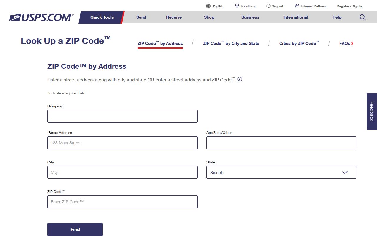
The standardized result is a postal fact. It does not settle whether Baldwin County or a city assigns the site address, issues its permits, or stores a local file. A failed result can point to a new 911 assignment, an omitted unit, or a street-name variant. Recheck the number and road format before drawing any conclusion about the people tied to that address.
Note: Preserve the USPS spelling before moving into county portals because small road-name and unit differences can cause a false no-result.
Eastern Shore Baldwin County ZIP Lookup
Daphne, Fairhope, Spanish Fort, Montrose, and Point Clear have layered postal, civic, and historic identities. The Baldwin postal directory places 36526 and 36527 around Daphne and Spanish Fort, 36532 at Fairhope, 36559 at Montrose, 36564 at Point Clear, and 36577 at Spanish Fort. Yet a matching postal city does not prove that the parcel lies within that city. This matters when the next step is a permit, municipal court, or address file.
Use the Baldwin County Revenue search gateway to reach the parcel map. Search the standardized street address, open the parcel, and inspect jurisdictional context available in the active viewer. If the parcel is outside corporate limits, Baldwin 911 GIS & Addressing controls the county address. Inside a city, its planning or addressing office is the proper route.
Coastal Baldwin County ZIP Code Directory
Gulf Shores and Orange Beach require an extra ownership check. ZIPs 36542 and 36561 cover coastal delivery areas, while 36547 has limited or institutional use reported in the research and must be confirmed through USPS. The coast includes municipal and unincorporated sites, especially toward Fort Morgan Road. Second homes and investment parcels also mean that an owner’s tax-mail address may be far from the property.
A parcel card can show owner, mailing address, situs address, legal description, and tax details. Situs means the physical property location. Compare it with the mailing address instead of merging the two. A matching owner name is evidence of ownership, not a full list of people at the site. Coastal ZIP searching is strongest when postal verification, parcel geography, and the current appraisal record all point to the same place.
Central Baldwin County ZIP Areas
Foley, Robertsdale, Loxley, Silverhill, and Summerdale form a central belt where old farm plats meet new subdivisions. North and east Baldwin add Stockton, Stapleton, Little River, Lillian, Perdido, and Seminole. A conventional street search can fail on rural tracts that rely on a parcel number or a metes-and-bounds legal description, which describes land by measured courses rather than a subdivision lot.
The durable sequence is postal address to parcel number, then parcel number to the GIS polygon and deed record. In north Baldwin, present boundaries should not be projected onto old records without care. Baldwin County began in 1809, and its early territory differed from today. A historic name or land record may need the County Archives rather than a modern ZIP search.
Find Baldwin County Residents by ZIP
No official Baldwin property portal with a proven ZIP-wide search mode was documented. The voter request form also offers county, city, and political-district scope, but does not list ZIP as an extraction choice. A sound Baldwin postal workflow therefore uses ZIP as the first geographic clue, not as a filter every agency is assumed to support.
- Verify the full address through USPS and save its standardized form.
- Search the Baldwin County property portal by street address, or use its map route when spelling fails.
- Open the parcel to record its situs, parcel number, owner, mailing destination, and jurisdiction.
- Use only the geographic choices that an official record system actually offers. Do not force a ZIP into a city or district field.
- Once a small area is clear, use the Baldwin County street directory for address-level work.
This path narrows the search without claiming that a postal code is a resident roll. It also creates a record of why a given office or portal was chosen.
Baldwin County ZIP Property Crosswalk
The Revenue Commissioner Property Search is parcel-centric. Its inspected fields do not include a verified ZIP-only control. Use the address result to cross from postal geography into land records. The field set below shows what the official search accepts and why the ZIP must first be tied to a complete address.
| Search control | Input type | Required | Best ZIP-directory use |
|---|---|---|---|
| Owner Name | Text | No | Confirm a known owner after geography is narrowed |
| Address | Text | No | Enter standardized situs number and street |
| Parcel Number | Text | No | Use the exact county identifier from a bill or map |
| Property or Account information | Result link | Not applicable | Open appraisal and tax detail |
| Map Viewer Search | Linked mode | No | Resolve location when address text fails |
| Search or Reset | Buttons | Not applicable | Run or clear the criteria |
Reduce the street text if the exact form produces no match, then use the map. Never treat an absent portal result as proof that an address or resident does not exist.
Baldwin County ZIPs Versus City Limits
ZIP geography follows mail delivery. Municipal limits govern city services and many local records. Annexation can change city authority without changing the postal city or code, so a Fairhope, Daphne, Gulf Shores, or Spanish Fort mailing label may not name the custodian for a permit. County 911 GIS & Addressing creates and verifies addresses outside municipal limits; the city office handles addresses within its boundaries.
- ZIP Code
- A USPS delivery area identified by five digits, not a legal city boundary.
- ZIP+4
- A more precise delivery segment appended to the five-digit code for a block, building, or mail group.
- PO-box ZIP
- A code used chiefly or only for post-office boxes. No Baldwin code received firm official confirmation as box-only.
- Unique ZIP
- A code assigned for one high-volume organization or limited use. Reported status still needs USPS verification.
- Carrier route
- The delivery path assigned to a mail carrier, which can cut across civic boundaries.
Boundary check. Use ZIP for mail, GIS for the parcel, and incorporated limits for the office that holds the local record.
Baldwin County ZIP Voter Geography
Alabama’s personal voter lookup verifies one registrant through name, birth date, and county. It is not a public ZIP or street browser. A separate statewide voter-list request may select Baldwin County, a city, or political districts and choose fields such as residence address, mailing address when available, and status. The form does not promise a ZIP-based geographic extract.
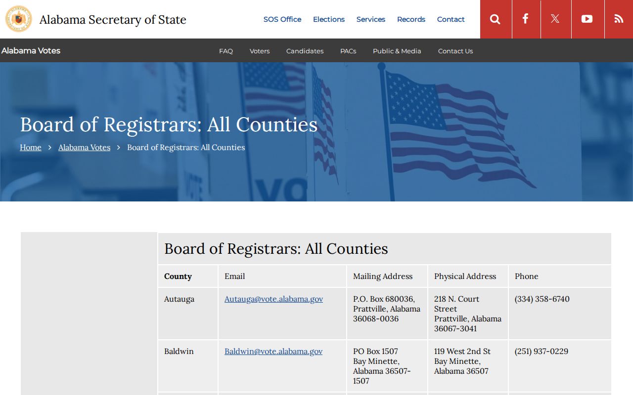
The Baldwin Board of Registrars listing gives the county offices that correct or explain registration records. Baldwin contacts include Baldwin@vote.alabama.gov and counters in Bay Minette, Fairhope, and Foley. A statewide list order may be delivered by mail, email, or pickup in paper, spreadsheet, or tab-delimited form after the Elections Division provides a quote. Its captured county-contact page appears below.
A status such as inactive is only a maintenance clue. It is not proof that a person left an address. Protected voters may also be omitted, and election history shows participation rather than ballot choices.
Note: A failed personal voter check is not an affirmative cancellation; only the Board of Registrars can explain the source record.
Baldwin County ZIP Growth Searches
Baldwin County grew from 231,767 residents in 2020 to an estimated 267,761 on July 1, 2025, a 15.5 percent rise. That pace produces new subdivisions, road assignments, and many similar street names. It also raises the odds that an older record uses a former address form while the current postal directory shows a newer label.
Do not invent a countywide street-renumbering date or ZIP split. None was verified. For an older address, compare its parcel number and legal description with plats, then ask 911 GIS & Addressing about current unincorporated naming. Where the site is inside a municipality, contact that city’s planning or building office. The legal description remains the stable bridge when mail geography changes.