
Baldwin County Neighbor Records
Public block research works best when each record is given one role. GIS establishes physical proximity. The appraisal roll connects each mapped parcel to its tax owner and mailing destination. Plats define subdivision lots and blocks. Permits show work at nearby sites, while a lawfully obtained geographic voter file can show selected registration fields. These sources describe parts of a block, not every person in every home.
| Baldwin source | What it reveals about a block | Access route |
|---|---|---|
| GIS and appraisal | Adjacent parcel shapes, situs, owners, mailing address, and values | Free map and property portals |
| Geographic voter extract | Requested registered-voter fields, address, status, and districts | Paid state request; protected records omitted |
| County or city permits | Construction actors, dates, type, and site | Open Baldwin or the city office |
| Subdivision plats | Lots, blocks, dedications, and recorded layout | Probate or Archives |
| Historic tax books | Taxpayer and parcel continuity from 1890 through 1979 | County Archives room or request |
| News and directory sources | Selected past occupants and community activity | Archives and relevant library |
A parcel card strongly links a named owner and mailing destination to land during the displayed assessment cycle. It may lag a recent deed. An owner can live elsewhere, while renters and other household members may not appear. That ownership-versus-occupancy gap is the central limit in any Baldwin County block search.
Map Baldwin County Neighbor Parcels
Begin at the exact site in the Baldwin County Revenue Map Viewer. Use its address or parcel route, verify the matched candidate, and turn on parcel boundaries. Then inspect the polygons that share a border or face the same street segment. A map click opens the parcel summary or linked appraisal record. The practical flow is: address, mapped parcel, adjacent polygons, appraisal cards, then a jurisdiction or community source.
- Search the target address and confirm its parcel number and situs, the physical property address.
- Pan and zoom until lot edges are clear. Click each parcel that truly touches or faces the target.
- Open each linked appraisal card and record owner, mailing address, legal description, and current tax cycle.
- Compare mailing and situs addresses. A match may support owner occupancy, but it never identifies a whole household.
- Move to plats, permits, or voter data only when those records answer a distinct question.
For every parcel along a named road, the Baldwin County street directory carries the wider street-level chain. The neighbor method stays close to one block.
Baldwin County Block Adjacency Checks
Street numbers do not define the nearest homes. Odd and even addresses often sit across from one another, while cul-de-sacs bend the sequence. A corner parcel may face one road but touch land entered under another. Condominiums can place many units over one parent parcel, and common land can make a subdivision look less connected than it is.
Use parcel geometry as context, not as a survey. The county research confirms zoom, pan, address and parcel search, parcel selection, layer controls, and print or share actions where active. Any measure tool is informational. Check the viewer’s current layer list before claiming a zoning, flood, or district layer. Saving a view with the search date makes later changes easier to spot.
Note: A shared parcel line is stronger proof of physical adjacency than a consecutive street number or the same postal code.
Baldwin County Neighbor Address Authority
A postal city can differ from the government that assigns an address. Baldwin 911 GIS & Addressing creates and verifies addresses outside municipal limits, including private-drive and subdivision road names. Within a city, its planning or addressing office controls. The Living in Baldwin County service guide documents that split and gives the county route.
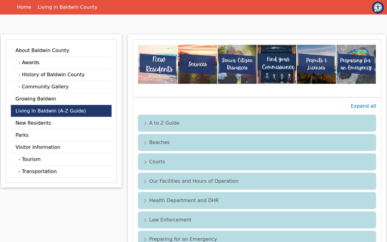
The guide helps decide which office should hold a nearby permit or road record. It also prevents a postal label such as Fairhope, Daphne, or Gulf Shores from being treated as proof that the parcel is within that city. Where a road name changes, parcel number and legal description form the stable link.
Baldwin County Neighbor Voter Data
Alabama Votes “My Voting Information” is built to verify one voter through first name, last name, date of birth, and county. It cannot enumerate people by street. Alabama law separately permits purchase of the statewide voter list. Its order form can request Baldwin County, a city, or political districts, select active or inactive status, and choose residence address plus other listed fields.
A geographic file can be sorted by residence address after lawful receipt. The state provides mail, email, and pickup delivery options and quotes the cost before fulfillment; print and electronic formats are available. Baldwin registration questions go to Baldwin@vote.alabama.gov or the Board of Registrars counters in Bay Minette, Fairhope, and Foley. Qualifying officials and spouses may protect information. The Address Confidentiality Program also provides a substitute address to eligible victims, and no search should try to defeat it. A voter’s status can lag a move, while election history reports whether the voter took part, never how anyone voted.
Baldwin County Community Directory Gaps
No official countywide neighborhood-association umbrella or public member-directory inventory was found. Baldwin County community geography is split among municipalities, subdivisions, homeowners’ groups, civic organizations, congregations, and watch groups. Public officer pages may identify an authorized contact. A private member roster remains private unless the organization itself has chosen to publish it for public contact.
| Community route | What may be public | Safe next step |
|---|---|---|
| Municipal clerk | Public board, district, or civic-contact records | Ask by subdivision and date range |
| HOA or civic group | Officers and public contact channels | Use the group’s published contact page |
| County Archives | Linked historical and genealogy organizations | Search the official local-resource directory |
| Congregation or watch group | Only contacts the group voluntarily publishes | Do not seek private rosters |
The County Archives online resources are a documented substitute for historical community leads, not a current block directory.
Fairhope Neighbor History Layer
Fairhope has a local property quirk. The Fairhope Single Tax Corporation’s PastPerfect archive, linked through Baldwin County Archives, can surface lessees, community records, photographs, and names that do not fit a simple fee-owner model. That material can add historic context to the block around a Fairhope parcel when an ordinary deed search tells only part of the story.
Archive evidence still needs a cross-check. Match the person, place, year, and parcel or legal description where possible. A photograph caption or community reference may identify a relationship to the area, but it does not prove present residence. For current land, return to the appraisal card and recorded deed. For an older block, add tax books, plats, and local newspapers.
Nearby Baldwin Property Changes
Permits and tax-lien notices explain change near a block, but neither identifies all residents. Open Baldwin divides county permit access at November 1, 2020: older reports are separate from the later Citizenserve route. Inside municipal limits, the city building office may hold the file. A permit can name an applicant, contractor, parcel, work type, issue date, and status. Those facts connect people to work, not to nightly occupancy.
The Baldwin County tax-lien auction page is another owner-record source, captured below for the nearby parcel image.
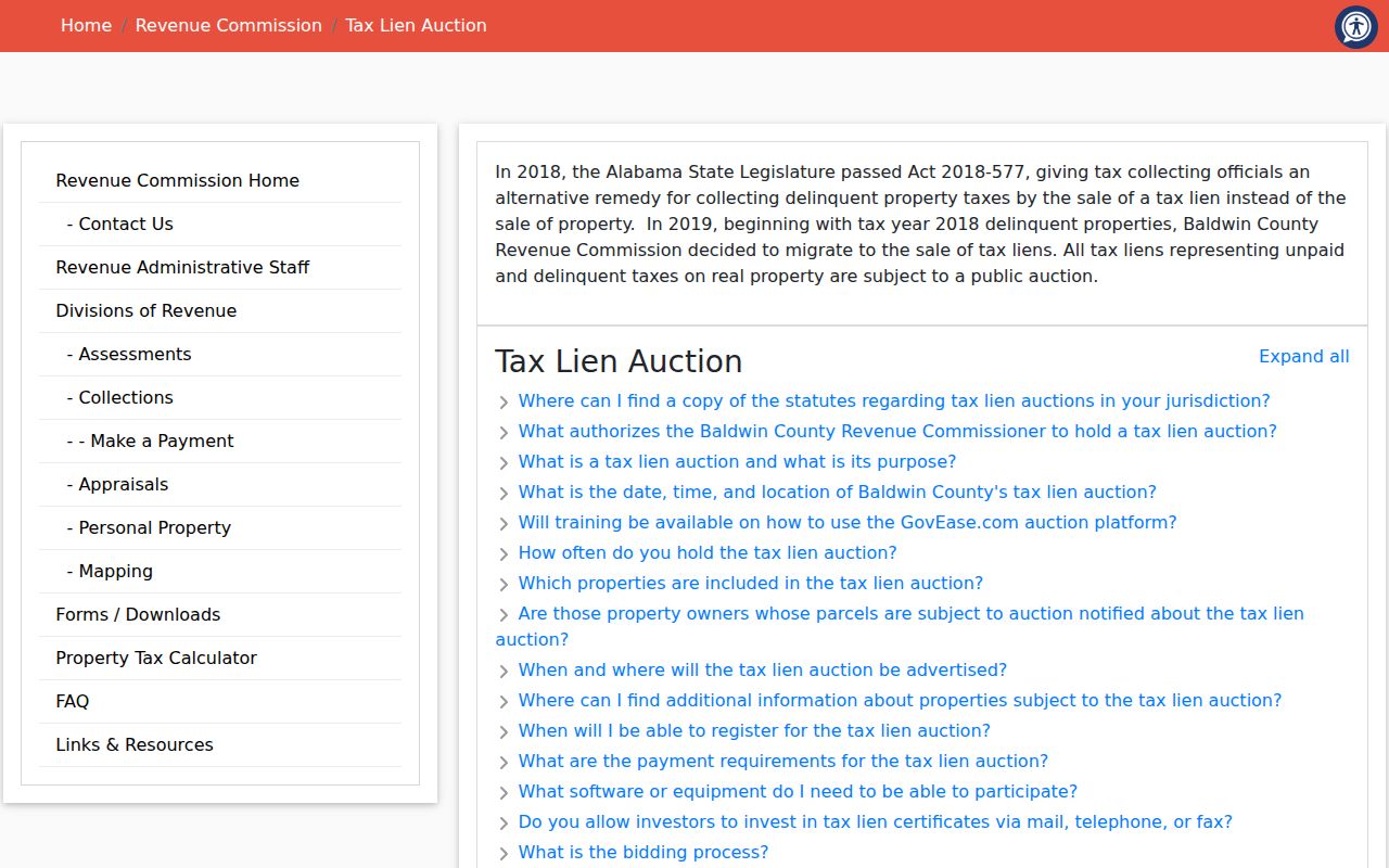
A lien or auction status concerns the parcel’s tax record. It does not certify title, establish who occupies the site, or define the block. Confirm ownership through the current parcel card and deed.
Baldwin County Neighbor Source Comparison
Official records and commercial neighbor tools answer different questions. Official rolls expose the custodian, field meaning, and correction route. Commercial compilations blend filings with marketing data, can lag changes, and may merge people who share a name. They can suggest a lead, but should not replace the Baldwin source record.
| Source type | Strength | Main limit |
|---|---|---|
| County GIS and appraisal | Parcel and assessed owner tied to mapped land | Owner is not the full household |
| Recorded plat or deed | Legal transaction, lot, block, and parties | Does not prove physical occupancy |
| Voter extract | Registered residence and selected public fields | Protected records and maintenance lag |
| Commercial compilation | Broad lead gathering | Unclear freshness and same-name errors |
Corrections belong with the office that created the data: Revenue for appraisal, Probate for recorded instruments, or the Board of Registrars for voter information.
Baldwin County Neighbor Lookup Limits
Public files do not create a complete Baldwin County block resident list. Utility customer data, delivery records, and motor-vehicle addresses are not public block directories. Renters and family members often do not appear on ownership records. Recorded documents remain public unless law or a court order allows protection, while court records follow Alabama’s 2025 privacy and confidentiality rules.
Use the least intrusive source that answers the question. For civic curiosity, a parcel map and public association contact may be enough. For a property concern, verify the owner and contact the proper county or city office. Stop if an address is protected or identity cannot be distinguished.
Lawful use. Baldwin County neighbor records may support personal safety, reconnection, and civic research. They never authorize surveillance, threats, harassment, or attempts to expose protected addresses.
Note: Public access is not consent to unwanted contact, and a record clue should never be treated as a complete portrait of a household.